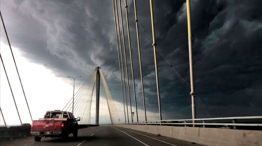
The US East Coast is bracing for more storms and high temperatures as a powerful weather system moves in from the Midwest. The storms could bring damaging winds, hail, tornadoes and flash flooding to millions of people across the region. Meanwhile, the South is experiencing record heat and fire danger, with some areas feeling like 115 degrees.

Severe weather threat for the East Coast
A strong storm system ahead of a cold front is putting a large swath of the eastern US at “enhanced” risk for severe weather, from Atlanta to Binghamton, N.Y. Enhanced risk — a level 3 out of 5 on the National Weather Service scale — means numerous severe storms are possible across the area. Parts of the Mid-Atlantic — including Baltimore, Washington, D.C. and Roanoke, Va. — are at an even greater “moderate” risk. The second-highest rating on the scale means widespread severe storms are likely.
“Dangerous storms with widespread very strong winds, large hail and a few tornadoes are likely this afternoon and evening across parts of the Mid-Atlantic,” the NWS said Monday morning. There is also the potential for damaging straight-line winds and flash flooding, the NWS added.
The storms are expected to start in the afternoon and continue into the evening, affecting major cities such as Philadelphia, New York and Boston. The NWS advised people to check with their local forecast office for the latest information specific to their region and prepare multiple ways to receive weather warnings.
More than 600 flights departing from and arriving at Hartsfield-Jackson Atlanta International Airport had been canceled or delayed as of midday Monday, according to the flight-tracking website FlightAware.
Record heat scorches the South
While the East Coast faces severe storms, the South is dealing with extreme heat and fire danger. Forecasters are predicting record heat from western Texas to the eastern Gulf Coast, with temperatures from the “upper 90s to the middle 100s.” The heat index — or what it feels like outside to the human body — could reach as high as 115 in those areas on Monday and Tuesday.
Dangerous daytime heat was expected elsewhere throughout the South on Monday and Tuesday as well, from the Southwest to parts of the Southeast and Florida. Excessive heat warnings and heat advisories were in effect in various areas across the region.
High heat plus dry ground conditions, low relative humidity and gusty winds combined to increase the fire risk in Texas, Arizona, Utah, Colorado and New Mexico. Some parts of the U.S. have been struggling to stay cool amid record heat waves this summer, likely worsened by the effects of global climate change. Phoenix, Ariz. — the fifth-largest city in the country — recently set a new record of 31 consecutive days with temperatures exceeding 110 degrees.
How to stay safe in extreme weather?
The NWS urged people to take precautions to protect themselves and others from both severe storms and extreme heat. Some of the tips include:
- Have a plan and an emergency kit ready for severe weather.
- Stay indoors and away from windows during storms.
- Avoid flooded roads and do not drive through water.
- Seek shelter in a sturdy building if a tornado warning is issued.
- Drink plenty of fluids and avoid alcohol and caffeine in hot weather.
- Wear light-colored and loose-fitting clothing in hot weather.
- Stay in air-conditioned places or seek cooling centers if possible.
- Check on elderly neighbors and pets in hot weather.
- Never leave children or pets in parked cars in hot weather.


